The extreme weather events caused by climate change illustrate the need for cooperation between farmers, nature organisations, water managers and local authorities more markedly than ever. Water+Land+Scape serves as a driver for local area-based coalitions addressing challenges related to farming, water and landscape through an integrated approach. The government programme supports the implementation of area-based projects that contribute to sustainable water resources, good water quality, future-proof agriculture benefitting from legal certainty and a climate-robust landscape rich in biodiversity.


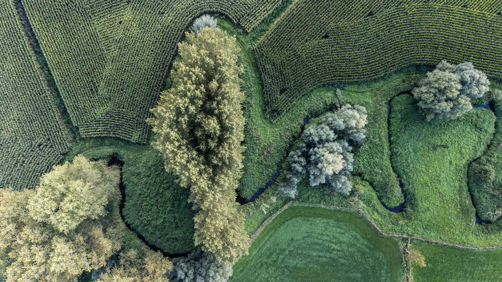
The etymology of ‘Flanders’ can be summed up as surrounded by water, flooded land that is regularly under water. It has traditionally been thought of as a region with water aplenty. We have been manipulating this landscape for centuries with canals, dikes, windmills, dams and ditches to be able to use it as a place to live and for growing and production purposes. Over the past 60 years, the landscape’s transformation away from the natural water system accelerated at a dramatic pace: policy decisions and innovation policies steered us towards intensive and specialised agriculture, an extensive infrastructure network and housing stock that fulfilled the dreams of many families, of a detached home surrounded by greenery. And while many of these decisions largely advanced our prosperity, in a changing climate we are now confronted with the other side of the coin. Hard surfacing prevents water from infiltrating the soil. Drainage systems, which ensure that fields can be worked for longer, drain off the infiltrated water more quickly. Highly efficient cultivation techniques are causing food shortages for farmland and grassland birds. The disappearance of small landscape elements increases erosion and excessive nutrient leaching. It is becoming clear how vulnerable our environment is, due to the way it has been designed, and how flood risk management, water shortages, climate change, our economy and spatial organisation are intertwined.
If we want to be resilient, we must prioritise restoring the physical water system when redesigning the landscape. This provides opportunities for addressing objectives related to water quality, nature restoration and water quantity using an integrated approach. But that’s easier said than done. Flemish open space policy is organised in a highly sectoral manner: agriculture and the environment are different policy areas and water policy is divided according to the category of watercourse. Individual land users face new and often unrelated policy objectives year after year, which significantly erodes their willingness to cooperate. Although in recent years there has been considerable investment in a qualitative and integrated area-specific approach, often under governmental direction, its influence is insufficient and the speed at which it is implemented is too slow to provide a structural solution for Flanders as a whole.
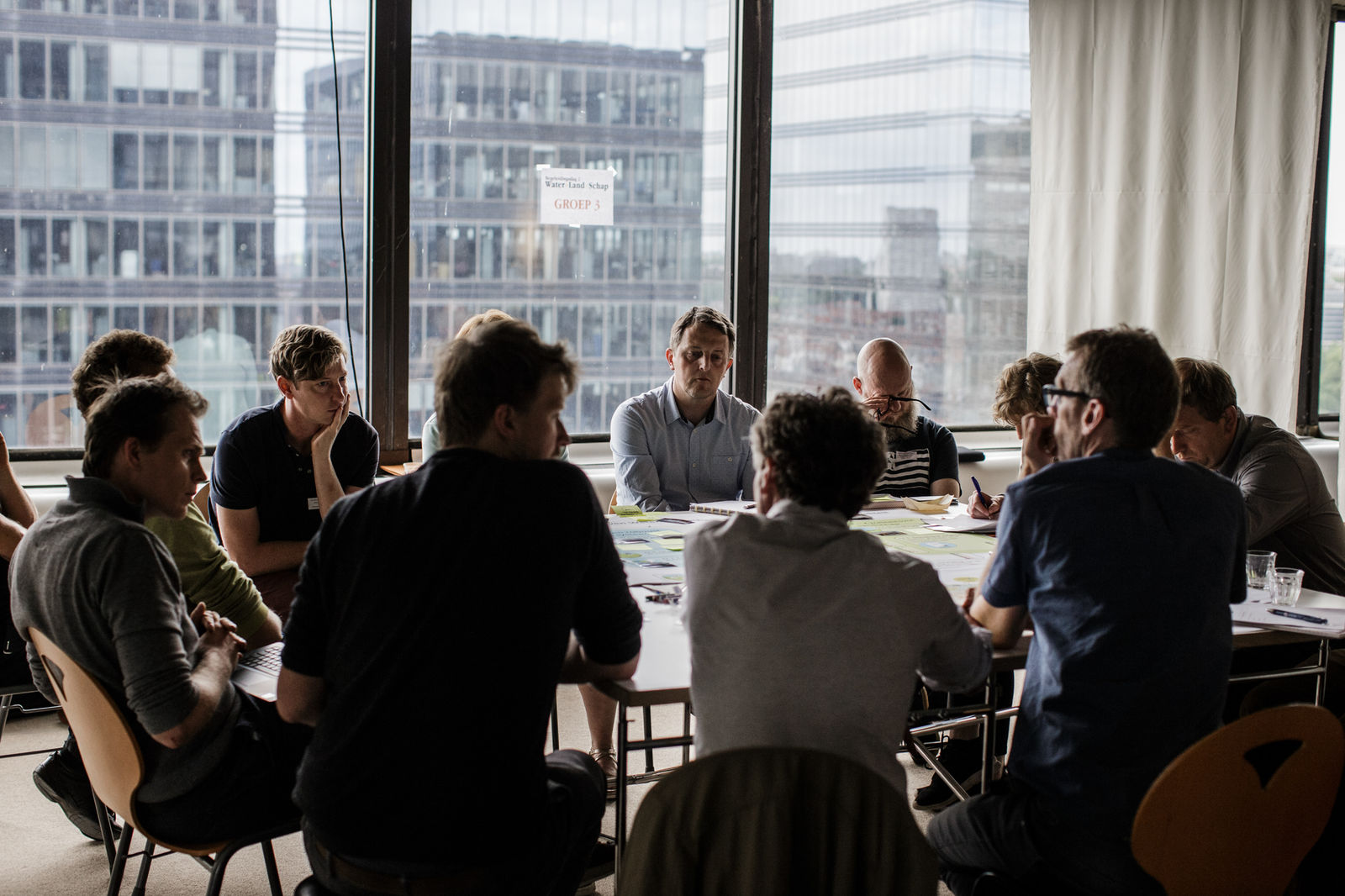
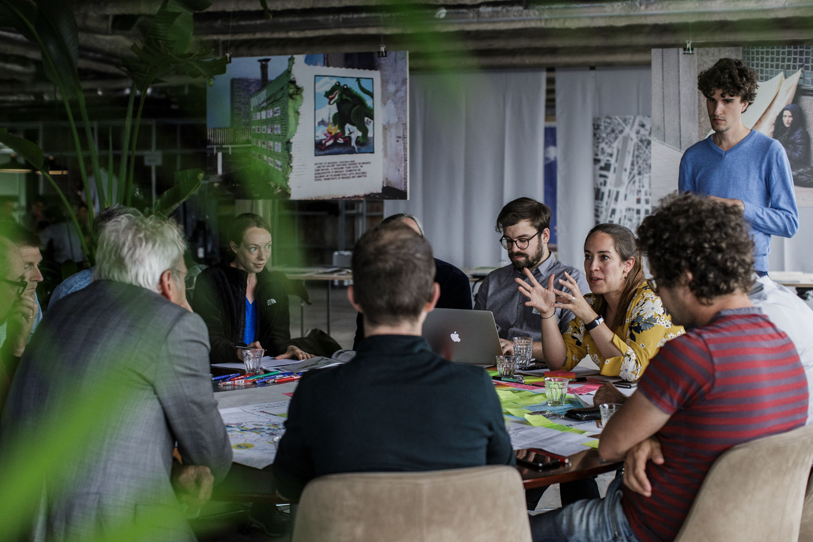
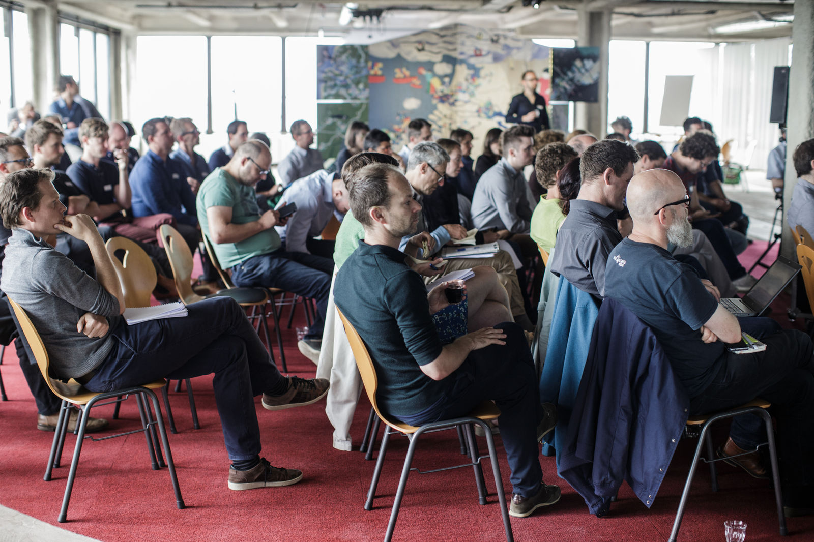
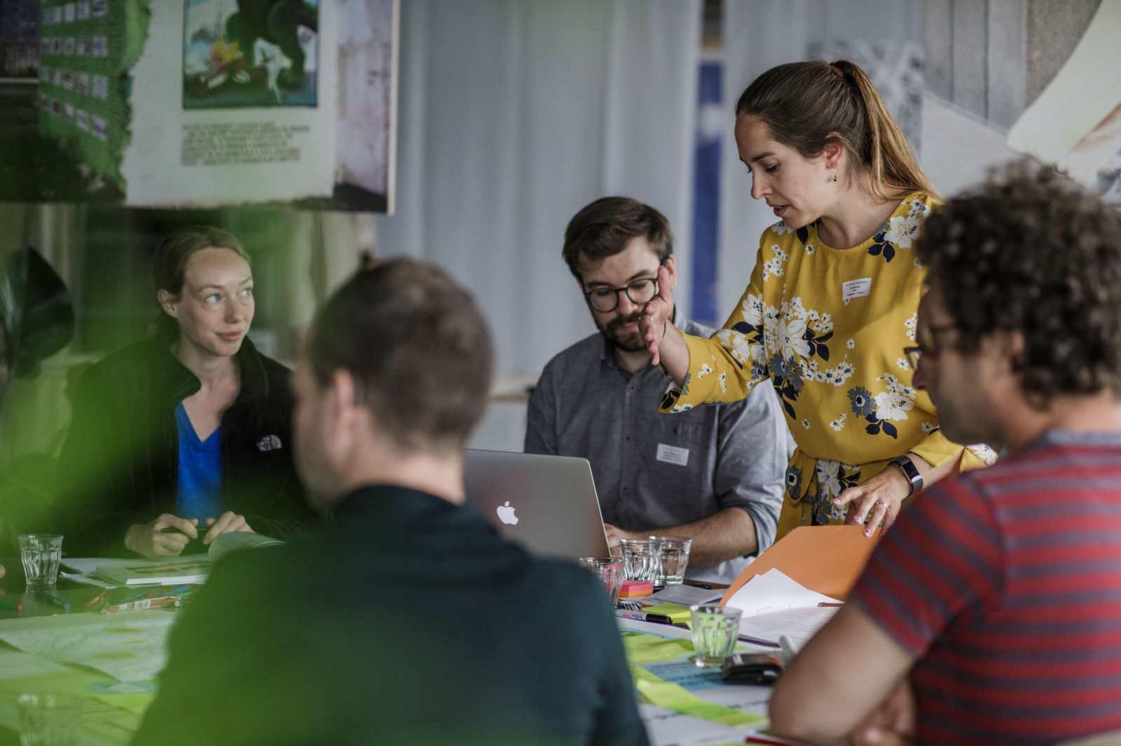
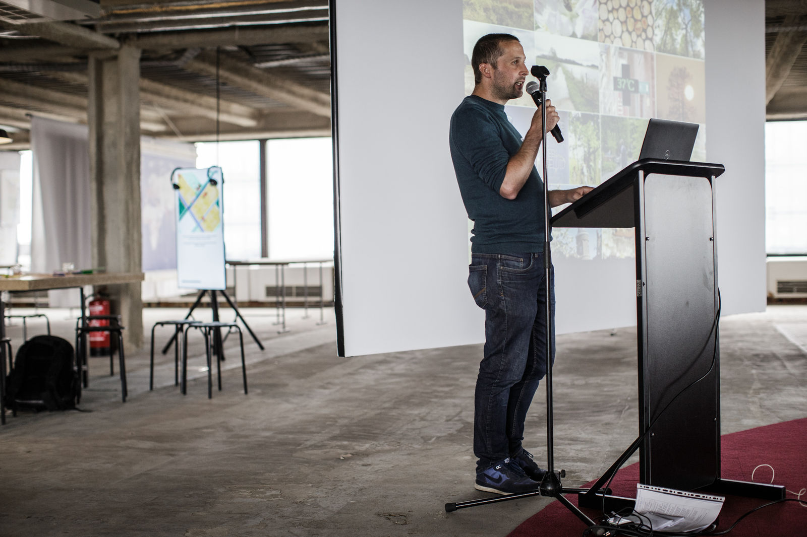
The dry summer of 2017 made it clear that a new method was required to provide a desperately needed change of gear. Nine Flemish government organisations combine objectives, knowledge and tools in the context of the Open Space Platform. Architecture Workroom Brussels, the Flemish Land Agency, the Flemish Environment Agency, the Department of the Environment, the Agency for Agriculture & Fisheries, the Nature and Forests Agency, the Research Institute for Agriculture, Fisheries and Food, the Flemish Institute for Technological Research and the Flemish Knowledge Centre for Water form a single programme team that tackles challenges related to water, farming and the landscape: hence the name Water+Land+Scape! The Water+Land+Scape programme team seek local coalitions of farmers, water managers, landowners, nature associations, and local authorities that are keen to get to work themselves. In return, they receive support and access to the Flemish Government’s toolbox.
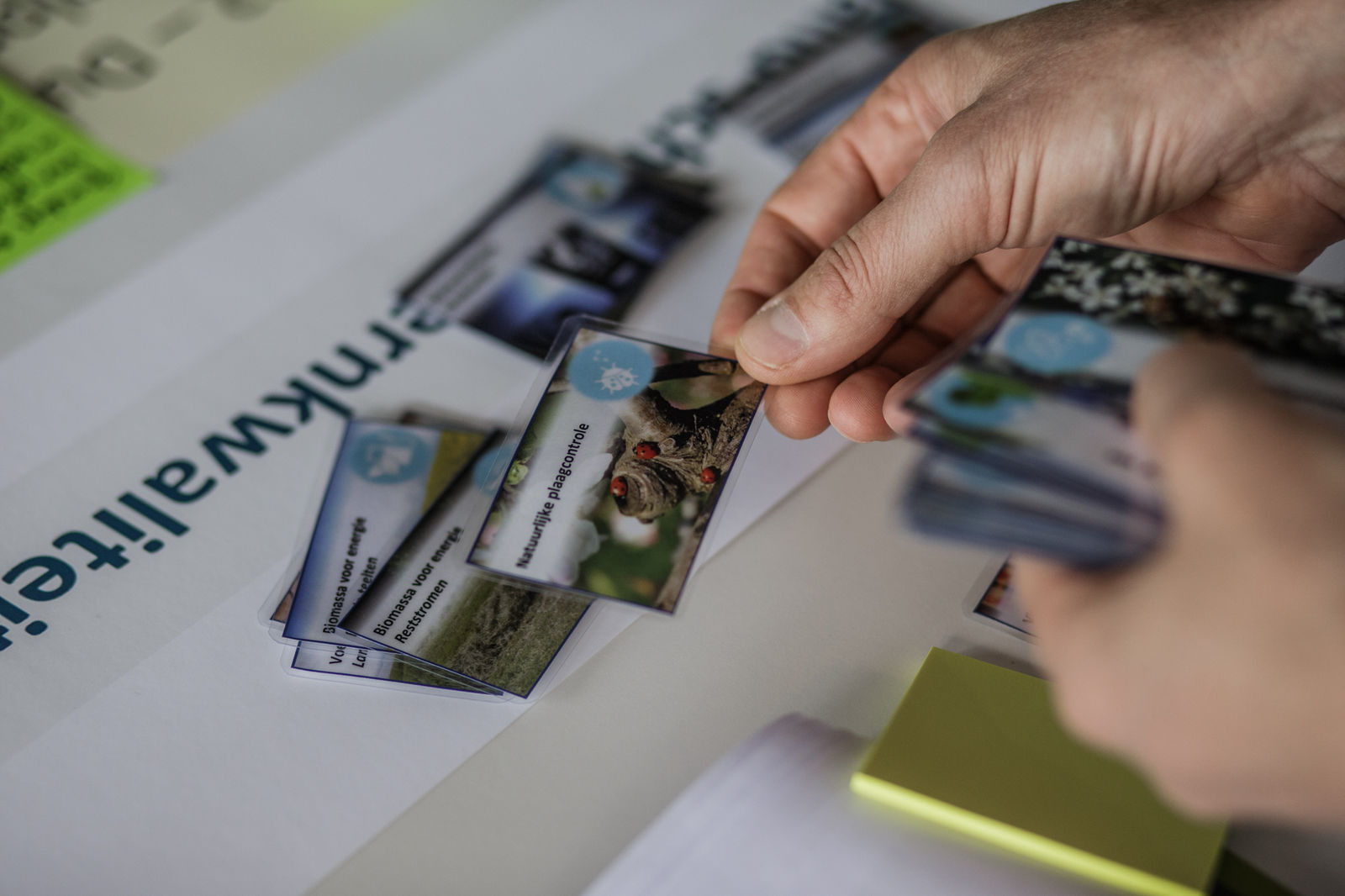
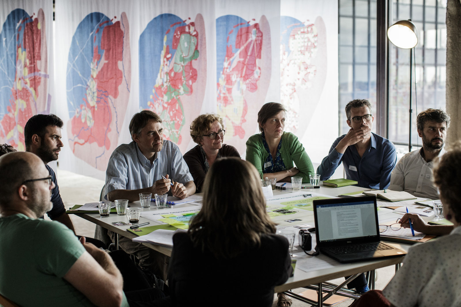
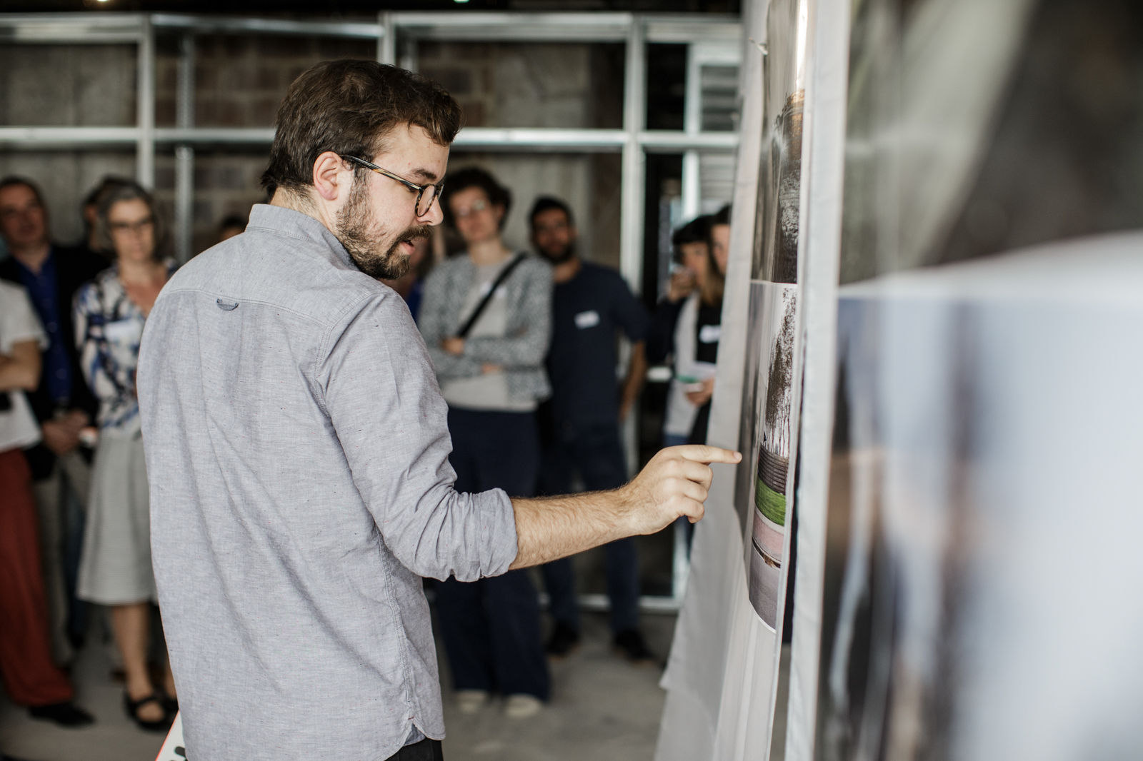
Water+Land+Scape tests a new culture of collaboration that promotes synergy between sectors and policy levels. The coalitions involved endorse the overarching vision of Water+Land+Scape, but are given the freedom to decide how to implement it, tailored to their specific area. In this process, they are supported by a learning environment that brings together the insights and lessons learned of the various coalitions. The focus is always on implementation and learning by doing!
The first generations of Water+Land+Scape
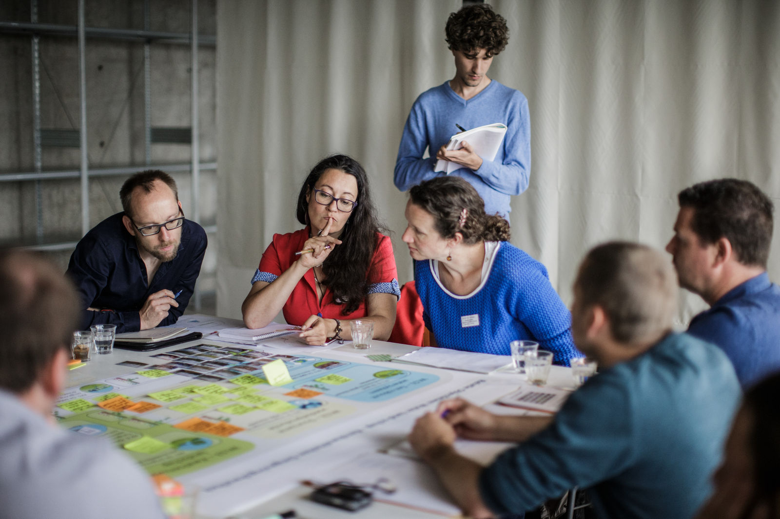
In 2017, the programme team launched an initial call, which received as many as 40 submissions. The first generation of the 14 selected area-based coalitions put intersectoral coalition forming and knowledge building at the core of their mission, along with lots of pilot projects. Some inspiring examples are the collective and extensive management of the stream banks of the Barbierbeek or the demonstration of climate-robust crops in the beek.boer.bodem project. Boosted by the insights of the first generation, the second generation of Water+Land+Scape coalitions follows two tracks. In Track 1, coalitions explore small-scale system innovations, such as building a natural system that treats wastewater from a residential neighbourhood in Ledegem. In Track 2, the emphasis is on developing an overarching vision of an area, such as ‘Beverhoutsveld dry-wet agricultural area’, where the public land of the villages of Oostkamp and Beernem are used for a climate-robust design of the surrounding bocage landscape. After a second call in 2021, a total of 29 area-based coalitions are active in as much as 38% of the Flemish territory. Besides the implementation of actual projects on the ground, the added value of the first generation Water+Land+Scape projects lies in the intersectoral cooperation and the creation of strong area-based coalitions in the open space.
Resilient Water+Land+Scape
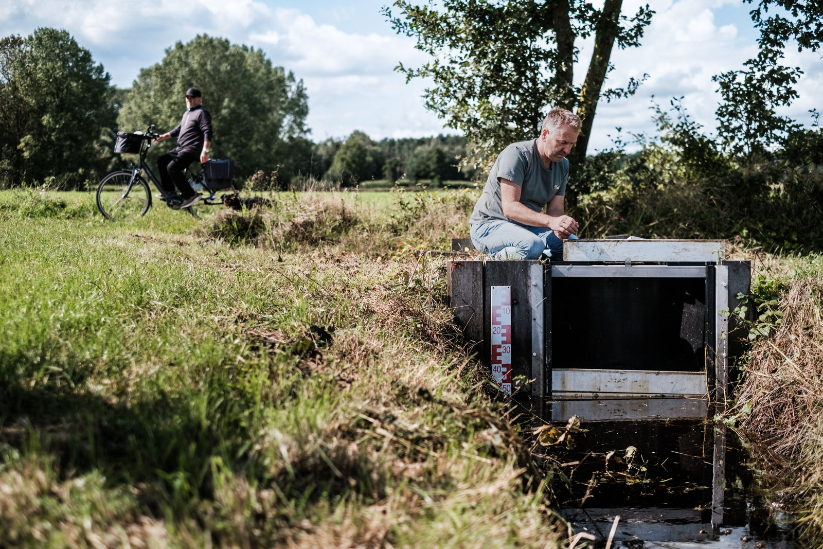
Since 2017, more intense periods of drought and very localised pluvial flooding have followed at a much faster pace. The 2021 ‘water bomb’ provided the impetus for the appointment of an expert panel on flood protection. Its policy advice document, ‘Resilient Waterland’ (Weerbaar Waterland), presents Water+Land+Scape as the ultimate platform for structurally investing in a practice to slow precipitation run-off by restoring the natural buffering capacity of our sponge landscapes.
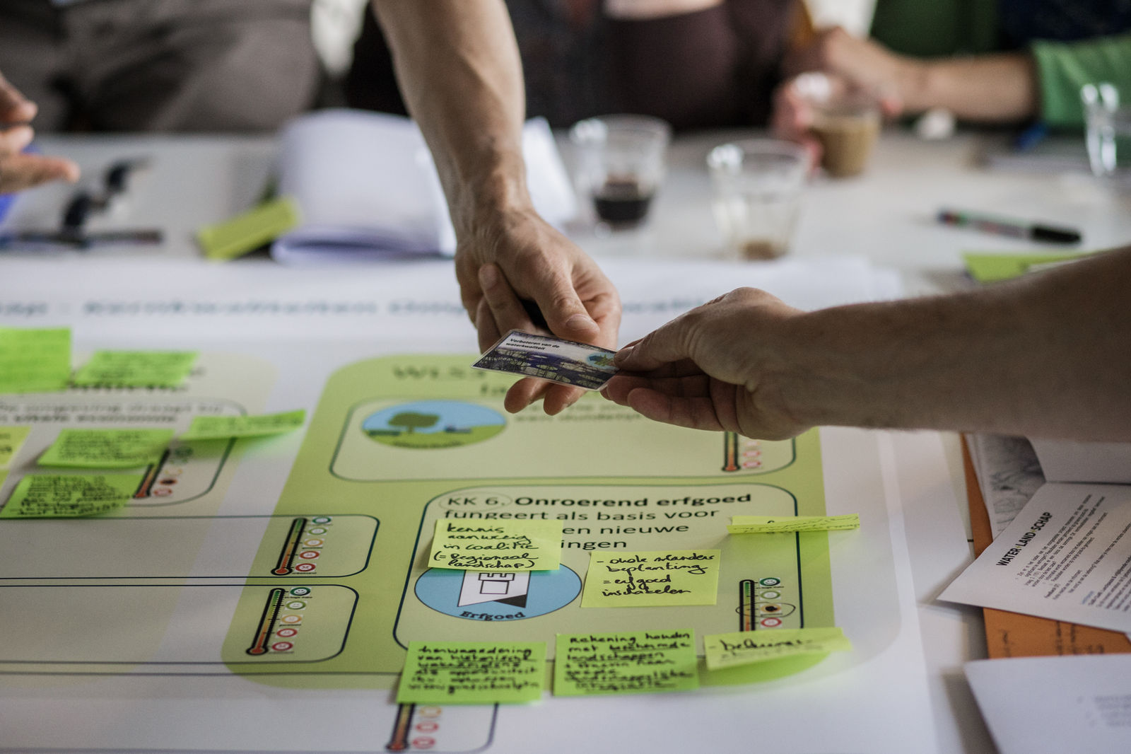
But how many measures must we take to activate the sponge function of our soil in order to be climate resilient? The ‘Resilient Waterland’ advice suggests formulating water security objectives at the Flemish level, and testing them in a number of pilot basins with a view to practical development on the ground. Four mature area-based coalitions from the previous Water+Land+Scape generation test a method for a year and a half to co-creatively set water security goals based on a diverse range of area-specific challenges. For example, the upstream areas of the Yser and the Lys rivers suffer from a much lower infiltration capacity than the upstream areas of the rivers Gete and the Herk and the Mombeek. The soil in West Flanders behaves more like a chamois leather than a sponge due to the shallow groundwater table. The goal of the Resilient Water+Land+Scape Coalitions is to work together by means of an extensive collaboration between local knowledge, science, research by design and policy to create a scalable methodology that embeds water quantity targets in an integrated area-based programme.
10 years of collaborating on Water+Land+Scape
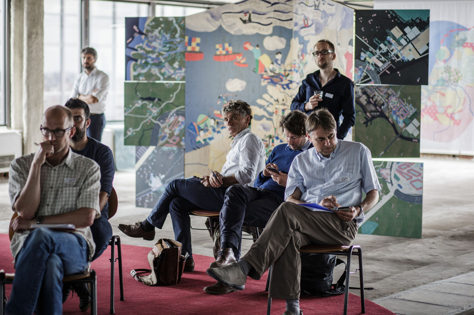
Water+Land+Scape is one of the most defining projects in Architecture Workroom’s development as an organisation (see also the narrative Operation Open Space 2.0). The foundations of Water+Land+Scape were laid when we worked on the Open Space Offensive (2013). We have been involved - first in dialogue with the Flemish Land Agency, later with a wider partnership - in developing the organisational architecture of several generations of Water+Land+Scape for more than a decade. We brought a design approach to the table to form the programme team; to provide a substantive foundation and inspiration for the calls; to support the area-based coalitions in a more systemic approach; to bridge the gap between local experience on the ground and the logics of open space policy: and invariably include the lessons learned in the next step. Together with the many partners this allowed us to put Water+Land+Scape on the map as a model for water policy and an (international) pioneering environment for practical research for process innovation, soil research, nature development, agricultural economics, hydrological modelling and landscape design.

