The exhibition A Good City Has Industry, organised in 2016, represented an important juncture and kicked off a period of acceleration. However, the theme of the productive city had already been creeping up on us rather surreptitiously. Looking back at 2010, the year Architecture Workroom Brussels was launched. An anthology of projects related to the theme of the productive city provides a good idea of how our practice has evolved over the years. A chronology, with the first phase: setting the agenda. We were able to place the theme on the agenda thanks to a multiplicity of studies, publications and cultural events, inherently in association with diverse actors.
Building for Brussels (2010-2012)
In the exhibition Building for Brussels (BOZAR, 2010) we studied the way in which architecture and urban planning could make a contribution to a sustainable transformation of the city. We presented an impressive collection of best practices from different European cities. Part of the exhibition was dedicated to the economy. The question was: How can architecture support the local economy? We remember how difficult it was to find good examples. They were displayed in the smallest exhibition room and made up the shortest chapter in the book published to accompany the exhibition. Nevertheless, the challenging search really got us thinking. Why does the dominant urban development culture drive the local manufacturing economy and logistics out of the city? While the rate of unemployment in cities is so high, and the city is the main market for goods? This intuition had us firmly in its grasp. A new, urgent work field had been exposed.
Thinkers vs Makers (2016)
First of all we set to work in our home city. The Thinkers vs Makers map, compiled as part of the IABR 2016–The Next Economy, is a further interpretation of the cartographic study launched as part of the Building for Brussels project. Thinkers vs Makers revealed Brussels to be a dual city: to the west of the canal it was a poor city with high unemployment, and to the east a wealthy city with a highly-skilled population. The west was still home to lots of industrial sites, some still operating, others derelict; the east housed an office district where the tertiary economy flourished. The map shows that there is a distinct but problematic relationship between space and the economy. We used an earlier version of the map to focus the ambitions of the Brussels Canal Plan. How could we apply spatial policy to serve economic and social policy?
The Canal Plan (2013)
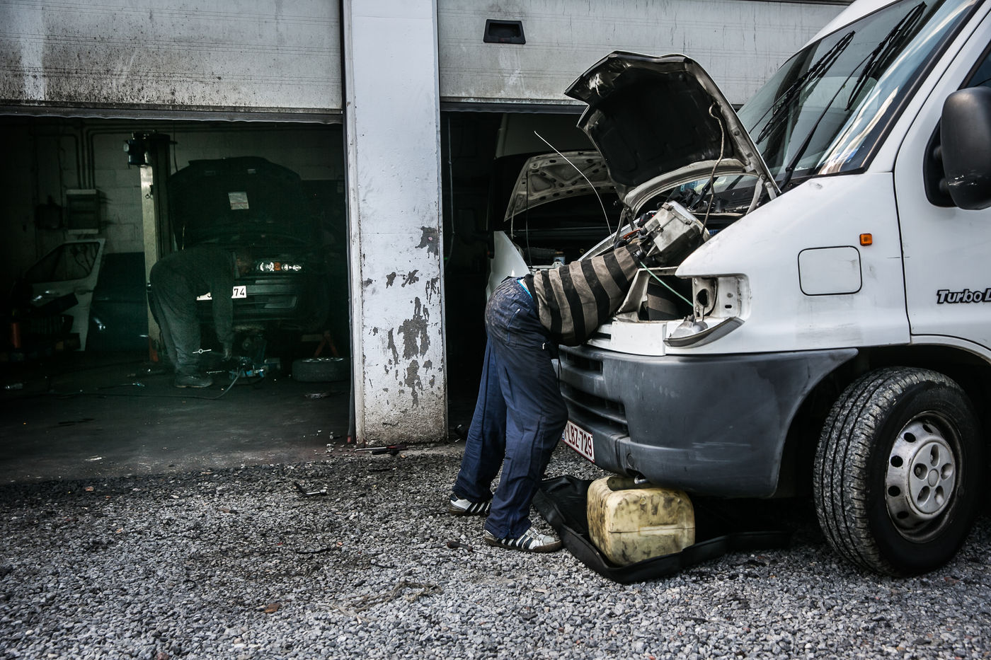
In 2013, we were involved in designing the Brussels Canal Plan by the French urban planner Alexandre Chemetoff. The Canal Zone is one of the most problematic districts in Brussels. It is the part of the city where many newcomers arrive and end up settling. It has high unemployment and population pressure and a lot of poverty. The Canal Plan aspired to give the troublesome districts in the Brussels Canal Zone a new lease of life. The Region wanted to have a master plan drafted for this purpose and launched a design competition. We guided the commissioning party through the procedure and in drafting the specifications. Traditional specifications for urban renewal projects during this period generally lacked any protection or boost for economic activities in the city. During the early phase of the Canal Plan the aim was also to create as much space as possible for additional housing. The old industrial sites risked disappearing and making way for chic lofts for the middle class, which threatened to drive out the existing population. We gradually succeeded in reversing this trend. Stimulating the manufacturing economy was an important criterion in the specifications. The understanding had grown that we also needed to create space in the city for economic activities and employment.
Festival Kanal Play Ground (2014)
The Canal Plan was not developed without the residents’ involvement. Since 2010, together with the Platform Kanal and the Kaaitheater, we have worked on a cultural event to involve the population and local associations in formulating a vision for the Canal Zone, and gathering input related to their needs. One of the interventions we achieved was the temporary pedestrian bridge spanning the canal in 2014, designed by Gijs Van Vaerenbergh. The bridge has an important symbolic value. It was the first ever connection between the districts to the north and south of the canal. The canal is no longer a hard border, but a shared space that connects the city of makers to the city of thinkers.